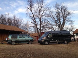
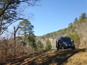
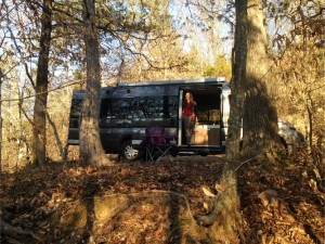
 Another great weekend with our new adventure rig.. When getting ready to leave, I couldn’t help notice the difference in size between “the Van” and the new VAN.. 🙂
Jennifer and I set out to “camp” and hike several waterfalls in the Richland Creek Wilderness Area. Started descending into the valley to find the Forest Service was doing controlled burns, the entire valley was filled with smoke, and you could hardly breathe down there.. So… Change of Plans.
We figured we’d drive over and camp at Haw Creek.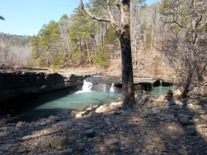
When we got over there, the campground was closed… So we found a parking spot and took off hiking. Through the campground,
and beyond…
Up a draw,
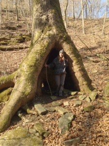
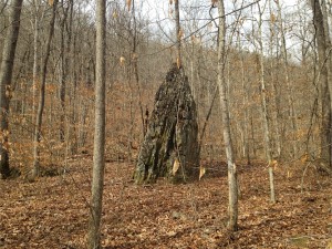
Past a Hobbit Tree…
To
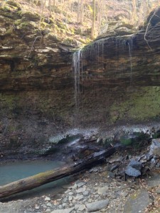
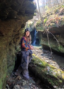
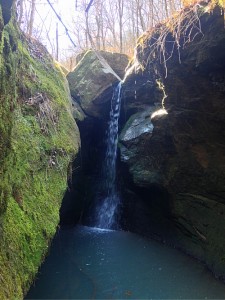
Pack Rat Falls
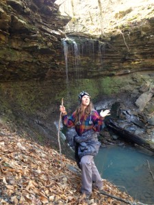
After I asked my muse to
“strike the pose” 🙂
We “scampered” up the side of the hill and continued on
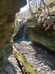
This waterfall would not be accessible in higher water.
A Really Beautiful little waterfall at the end of a miniature slot canyon.
Back to the Van for a little lunch.
Then we crossed the road 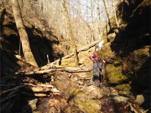 and took off up the hill for “Pams Grotto”
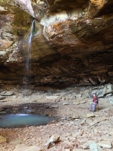 Which is a very impressive place and worth the steep hike up the hill. We discussed going back for my painting gear.. (next time I won’t leave it behind)
Another day in life where all that was planned, did not happen.
All that happened, turned out to be the perfect plan.
We climbed back down the Hill (meeting some nice folks along the way), and back to the Van. We took the dirt road down a mile or two to where the Hurricane meets the Piney, and found an awesome little parking spot..
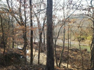
(Campground not needed after all) The view of the Hurricane out our sliding door:
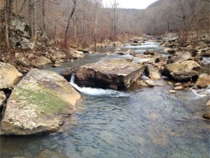
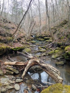
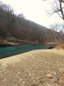 Sunday Morning we took off hiking up the Hurricane. Every bend was more beautiful than the last. One long deserted old homeplace sat in the bend of this horseshoe in the river, surrounded by aqua blue waters and flat rock bottomed creek. I would love to hear the stories from the people who lived there.
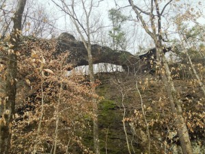
Beside an old pioneer road, we “found” this Natural Rock Bridge. …OK OK, the little wooden sign with the arrow that read “Natural Rock Bridge” helped a little. 🙂
Stopped on a nice big flat warm rock along the river and had lunch.
Very hard to capture on film. Click on any of these pics to zoom in.
Figure this one out:
So after several hours of hiking, Jennifer sees these trail markers for the Ozark Highlands trail, and decides it “should be” a shortcut. We take off and hike for a mile or so in the wrong direction… Luckily, I convinced her of her err, and we left the trail.
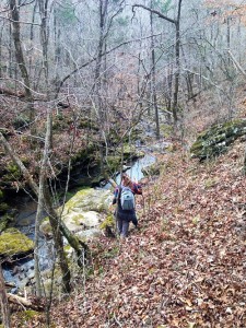
Of course, -I- have to get her back on course 😉 , so we blaze our own trail through the woods…
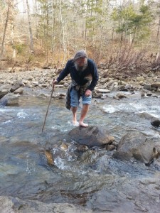
But, as the ever patient and understanding gentlemen that I am, guess who has to get their feet wet -AGAIN-?
Is this becoming a routine?
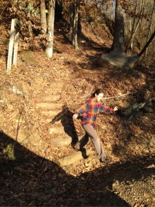 We did finally make it back.. (with the aid of my uncanny sense of direction). Had a brief rest back at the Van, and started home. On the way out we saw the “shortcut” where the Ozark Trail that we were on crossed the road. Jennifer got out and checked the sign: It was FIVE MILES to the Hurricane River from that point (VS. the two mile hike we took).
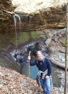
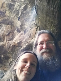
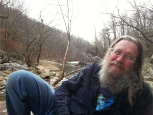
Another great weekend with 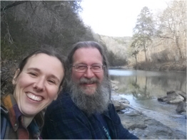 a couple Happy Campers:
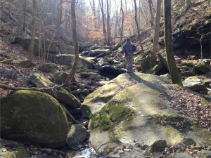
Great places. Enjoy.
Great places guys. Keep enjoying
Wonderful post! enjoyed your story and the pixs are great.
Thanks for checkin in, be sure to look us up next time you’re in the neighborhood.